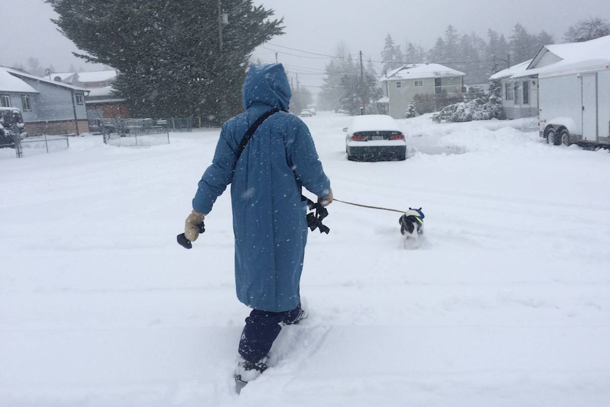
The Cowichan Valley received an average of 28.4 centimetres over the course of the three-day storm that swept through the region over the long Family Day weekend.
Armel Castellan, a meteorologist with Environment Canada, said the top of the Malahat received 46 centimetres of snow during the event, while 40.8 centimetres of snow fell at the Nanaimo airport.
Just five centimetres of snow fell in Port Hardy and other northern areas of the Island.
“The snow and cold event really began in the Cowichan Valley on Feb. 10 when cold Arctic outflow winds, a necessary ingredient for snow on the east coast of Vancouver Island, from the north swept west over the Strait of Georgia, and Duncan recorded 2.6 centimetres on that day,” Castellan said.
“The cold weather stayed in the area and clashed with moisture coming north from the Pacific Ocean and the snow really began on Feb. 12 in the Cowichan Valley. The Valley saw an average of 4.8 centimetres of snow on Friday, and the snow peaked at 13.6 centimetres from about midnight to 9 a.m. Saturday morning. Then on Sunday, we had another weather pulse that was more intense than we anticipated, and the region had an additional seven centimetres of snow.”
Castellan said the Valley got a reprieve early this week with sunny skies and above freezing temperatures, but it will be short-lived and clouds and rain will return on Thursday and Friday as a low pressure system settles over the area.
He said there may be some snow in elevated areas, and in the early morning hours before the temperature for the day begins to rise, but no significant accumulations are expected.
“The weather system is pushing up from the south, so it should generally be all rain,” Castellan said.
“We should catch a break from the rain on Saturday, but the rain is forecast to continue on Saturday night. But we aren’t forecasting anything like last year at about this time when heavy rains flooded many parts of the Valley.”
Castellan said temperatures are forecast to be above normal, with a high of 10 C, early next week.
He said the forecast is for drier conditions next week, but the temperatures will drop to just below normal, with a high of 8 C and a low of 1 C.
robert.barron@cowichanvalleycitizen.com
Like us on Facebook and follow us on Twitter