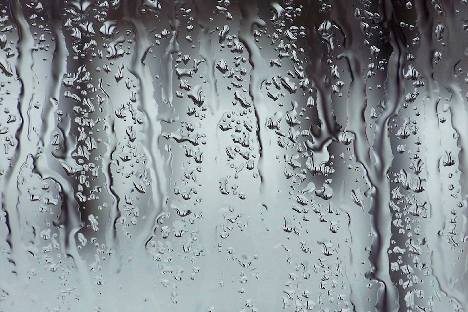
Thermometers in the Cowichan Valley reached as high as 17 C on the evening of Wednesday, Nov. 22 as a warm, tropical weather front hovered over the region.
Armel Castellan, a meteorologist from Environment Canada, said a number of temperature records were broken in several areas of eastern Vancouver Island and the Sunshine Coast on Wednesday evening as a plume of warm and moist area originating from east of Hawaii has been sweeping through the area, bringing rain and warmer than usual temperatures.
Unfortunately, Environment Canada’s weather station for the Cowichan Valley, located near Lake Cowichan, has been experiencing some technical difficulties so it couldn’t be determined officially if the Valley broke any records.
However, on the Environment Canada website, Duncan’s recorded high temperature of 15.6 C yesterday is now listed as the mark to beat, surpassing 2012’s 12.2 C.
Castellan said the rain and high temperatures will ease off as the moisture plume from Hawaii weakens on Thursday and Friday, and residents may even see some short stints of sunshine, but another weather system is forming in the Gulf of Alaska that will begin to impact the Valley by Saturday evening.
“Saturday evening and Sunday should see the return of wet weather again from that system, and temperatures are expected to be a little higher than normal for this time of year, but they likely won’t be as high as they were Wednesday evening,” he said.
“We’ll see another break from the wet weather on Monday, but another rain pulse is forecast to hit the Valley by Monday evening and into Tuesday.”