By Alexandra Mehl, Local Journalism Initiative Reporter HA-SHILTH-SA
After seeing a precipitation deficit through November, the West Coast’s wettest month, a `potent and impactful’ atmospheric river brought heavy rainfall to western Vancouver Island.
According to Environment Canada, up to 150 millimetres of rain was expected in some areas, with the storm expected to calm in the early hours of Tuesday, Dec. 5.
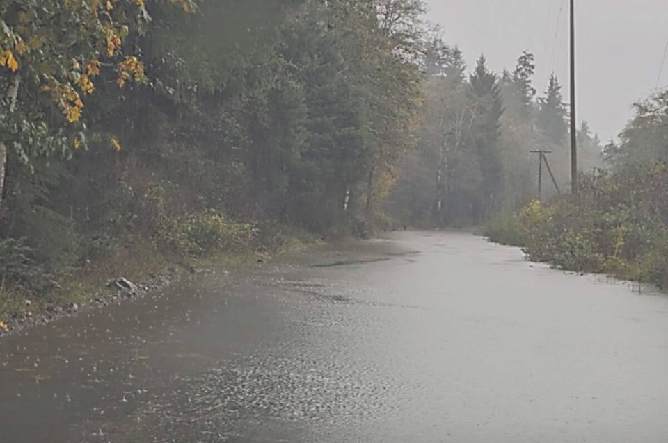
Members of the Ditidaht First Nation were bracing. The main road into their remote community at Nitinat Lake — about an hour’s drive from the nearest community of Lake Cowichan — has already seen multiple floods, said Chief Councillor Judi Thomas.
“Ditidaht is impacted in a big way with large rainfalls and storms that happen every year,” said Thomas. “Every year the…Campus Creek floods, blocking the main road access in and out of the village, obviously stopping ambulances, transporting people and groceries in and out of the community.”
“It disrupts transportation and even puts human lives at risk.”
According to James Fothergill, Ditidaht Emergency Services manager, the main road sees roughly 12 floods per year.
A 2.8-kilometre bypass road put in by logging road builders, provides an alternate access, but it’s flawed, a point driven home in November when the main road flooded, and trees fell across the bypass.
“It does not work well for cars, the grades are too steep. It puts more of our people at risk from a safety point of view,” Thomas said, noting that erosion is a concern. “It’s a safety hazard even though it’s meant to be a mitigation to the flooding.”
“It raises concerns for access.”
In November, Thomas met with B.C. Transportation Minister Rob Fleming to advocate for the overall road improvements for the local community, she said, adding that she would like to see provincial standard improvements to the road.
“We need signage, we need safety measures in place, and this mostly results from the closure at Highway 4, Cameron Lake bluffs, where hundreds of thousands of people were rerouted through Ditidaht traditional territory.”
A June wildfire shut down Highway 4 — Vancouver Island’s main West Coast link running from Parksville to Port Alberni — for weeks. That led to people navigating a network of rough forestry roads through Dididaht territory to get to the east coast via Lake Cowichan and Duncan.
Jonathan Boyd, a hydrologist with B.C.’s River Forecast Centre noted the potential of debris or a landslide cutting off access again during heavy rain.
“And then thinking of those alternative routes that were being used to get people to Port Alberni and when you get into the logging roads, along with heavy rainfall and heavy use, that’s when they become quite dangerous,” he said.
“The remote communities are at greatest risk,” added Boyd, voicing concern for residents and communities living along river systems.
Thomas would like to see action soon.
“We already have a feasibility study completed that lifts the road and widens it to provincial standards so that it’s flood proof,” said Thomas, with estimates of the project costing roughly $30 million.
“We want to promote safe and efficient movement of people through our territory.”
READ ALSO: Ditidaht Nation paving its own way to winter safety with help from San Group
READ ALSO: B.C.’s iconic West Coast Trail to re-open to visitors in June 2021