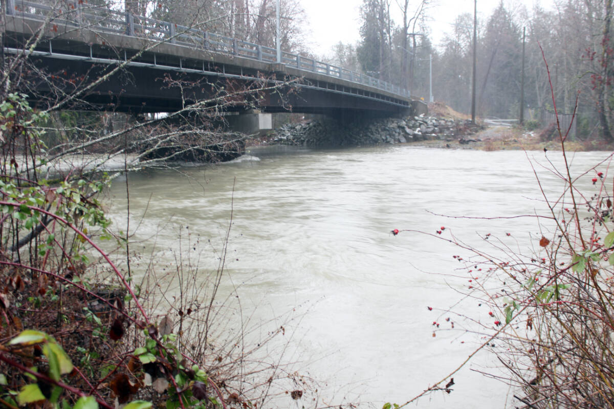
The Cowichan Valley Regional District will receive $510,500 from a joint B.C.-Canada funding program for Chemainus River flood mapping.
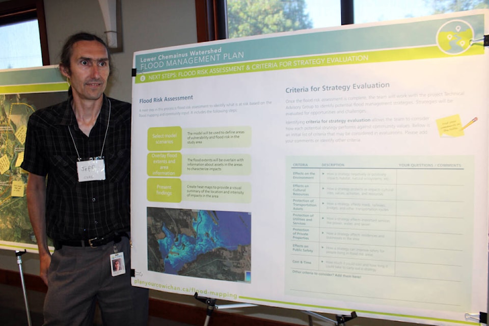
The project focused on developing updated flood maps for the Chemainus River flood plain for the CVRD and Halalt First Nation. Maps showing flood depth and flood construction levels were produced to federal and provincial standards to develop ongoing mitigation and flood-relief programs.
These programs will help keep people safer from floods and make life easier for those facing flooding, said Nanaimo-North Cowichan MLA Doug Routley.
“In recent years our community has faced increasing challenges related to flooding on the Chemainus River. That’s why our government is supporting the Cowichan Valley Regional District and Halalt First Nation in flood mapping exercises which will better prepare us for climate emergencies and change outcomes for people.”
Related story: CVRD looks to move forward with flood mapping of Chemainus River
A total of 24 flood mitigation projects have been recently completed around the province. The projects were supported by more than $10.8 million in funding, shared by the provincial and federal governments.
Related story: Mapping of Chemainus River floodplain to aid in future flooding risks
“Communities in flood-prone areas across the province know the importance of understanding the hazards and being prepared for flooding,” said Bowinn Ma, B.C.’s minister of emergency management and climate readiness. “By partnering with the federal government, we are maximizing funding and supporting communities in their work to become more resilient and better prepared to face damaging floods in the future.”
“The Government of Canada will always be there to support Canadians, especially when it comes to preparing for and recovering from extreme weather events and natural disasters,” said Bill Blair, federal minister of emergency preparedness. “These projects are focused on advanced planning and mitigation efforts to reduce the risks of flooding events, which is a crucial element of building greater disaster resilience for the future.”