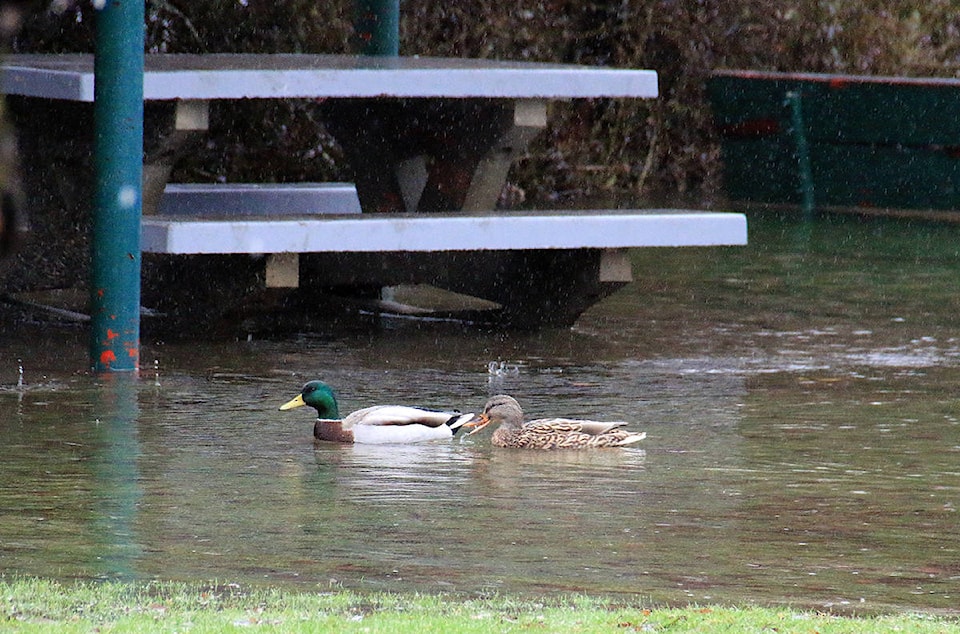
Flooding has started in the Cowichan Valley, as continued rain melts last week’s heavy snowfall.
Cowichan Bay Road is closed in both directions, according to Drive BC. There’s flooding between Tzoualem Road/Cowichan Bay Road and the Trans Canada Highway.
The road is closed until further notice.
By later Thursday afternoon, Drive BC also said Tzouhalem Road was closed in both directions between Joe Road and Samuel Road due to flooding.
***
Emcon Services Inc. South Island Division reported at noon Jan. 23 that there was still standing water on Highway 1 between Mt. Sicker and Mays Roads.
“Southbound traffic, please be aware. Road is not closed, traffic will be able to move through single lane very slowly. Please watch for signage and crews on scene,” the company posted on Twitter.
***
Meanwhile, motorists driving along Cowichan Lake Road have also noticed water pooling.
There are several spots where puddles were deep, both between east and west of the Skutz Falls turnoff.
At Skutz Falls itself, nearly overflowing ditches were visible to drivers.
George Gates, of the Farm Table Inn at Skuts Falls, reported on Facebook midmorning Thursday that Emcon had been called and a crew is dispatched.
***
At Shawnigan Lake, posters on the Shawnigan Lake Events, News, Links, Community Forum were expressing some concern about water splashing up the copious salt that’s been laid down to stop black ice.
***
By the afternoon of Thursday, it was being reported that the road in Honeymoon Bay by the dryland sort and the gravel pit area past the firehall was flooded.